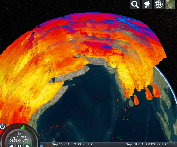
Need to get ortho images online in seconds? Same with thematic maps, DEMs and hyperspectral satellite images? How about adding in weather data? All to be visualized right away in charts, virtual globes, or your users' standard GIS and analytics tools?
Open, Flexible Standards

If this is your requirement, then there is only one answer on the market: rasdaman, the intelligent raster server with its internationally patented "what you get is what you need" architecture. With maximum performance, unlimited flexibility, data management in standard databases - in short: mature, leading technology with an international installation basis.
The rasdaman engine offers OGC WMS, WCS, WCPS, and WPS service interfaces, including client support. Being the makers of the OGC Big Geo Data standards we know the business from the inside and can answer any question about their use. Actually, these standards reflect twenty years of experience from architecting rasdaman as the world's first and leading Array Database, in close collaboration with Jacobs University. As writers of most of these standards we naturally implement them first to verify feasibility, typically making rasdaman the first and reference implementation.
There is no better way to secure your Big Geo Data investment over many years.
Effortlessly multidimensional
We don't stop with 2D. Just as effortlessly, rasdaman can maintain 3D geophysical data (x/y/z), also 3D time series (x/y/t). And a combination of both, yielding 4D (x/y/z/t). And beyond... Not on paper, not in the lab, but in 100+ Terabyte operational installations.